Boroughs and towns
Surrounded by the mountains
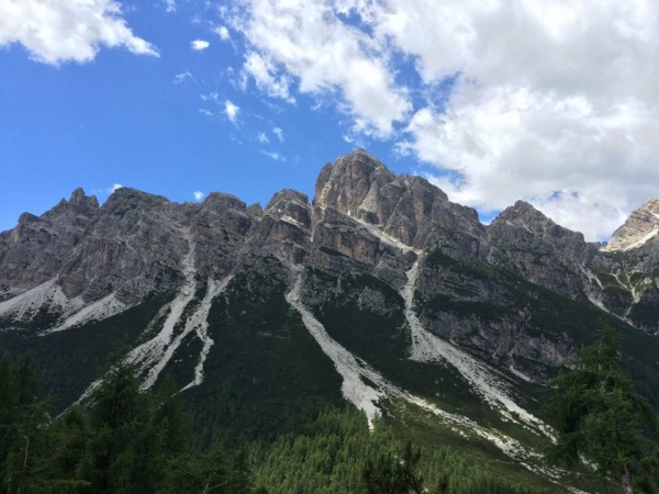
The Val di Zoldo geographic area

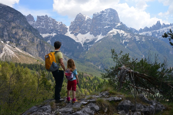
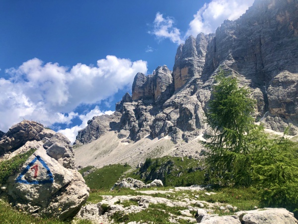
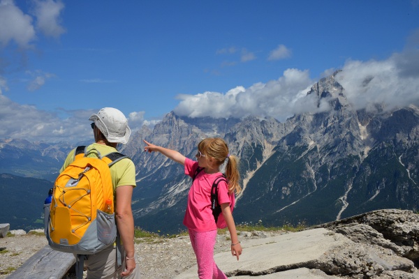
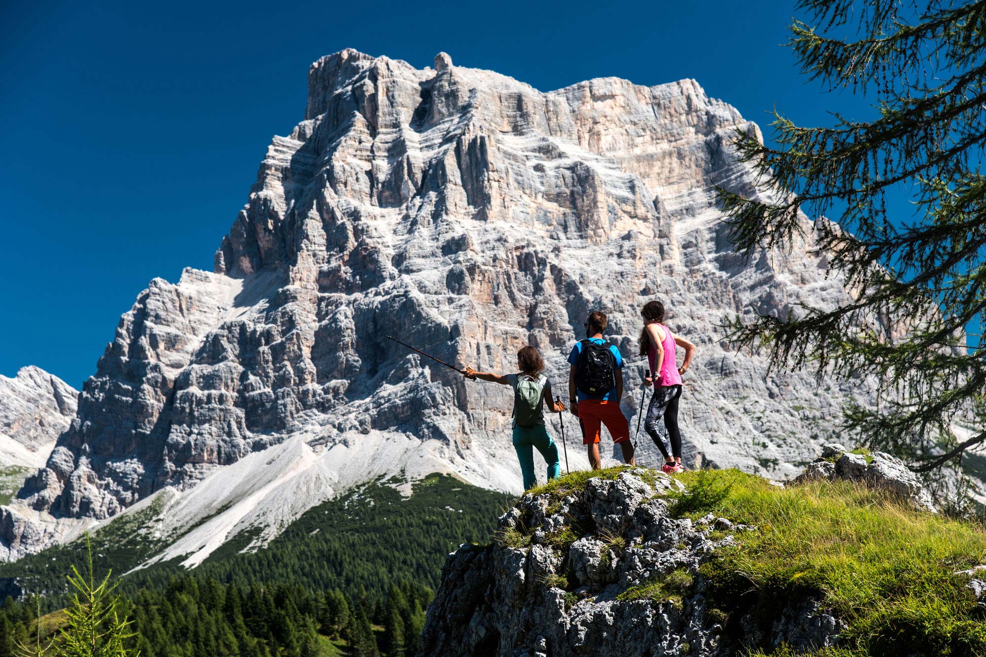
Walking
Bike
Neve
Zoldobimbo
Culturattiva
Other activities
Climbing
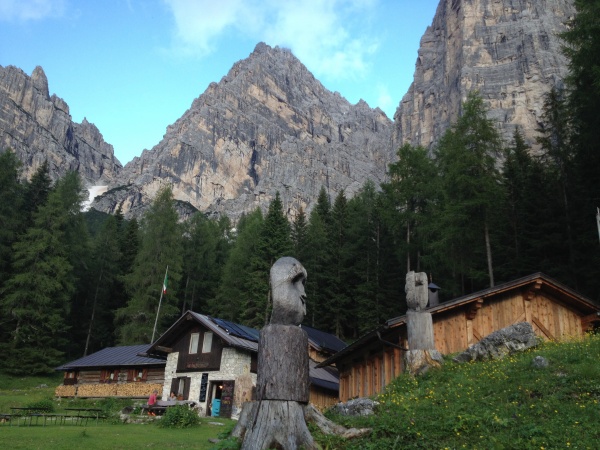
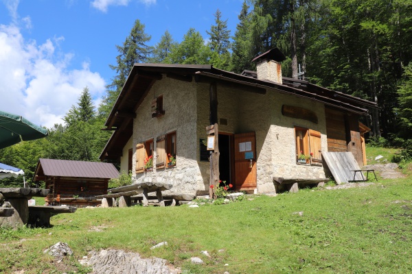
Sleeping