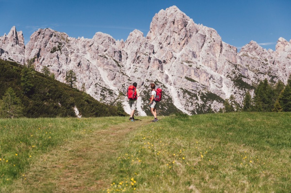
The via ferrata Tissi is an historical itinerary named after Attilio Tissi who opened great climbing routes in the Civetta group.
The ferrata climbs up the steep western face of Cima Tomé (3004m) overcoming with an exposed itinerary the rock band situated below Pian delle Sasse. The itinerary was recently modified and is perfectly equipped. It can be climbed uphill for whoever comes from the rifugio Vazzoler but also downhill for those who have climbed to the top of the Civetta along the normal route of the Alleghesi ferrata and aim to complete the traverse. The ferrata is not very long but the total itinerary has remarkable vertical height gain and total length and requires excellent physical form.
Itinerary
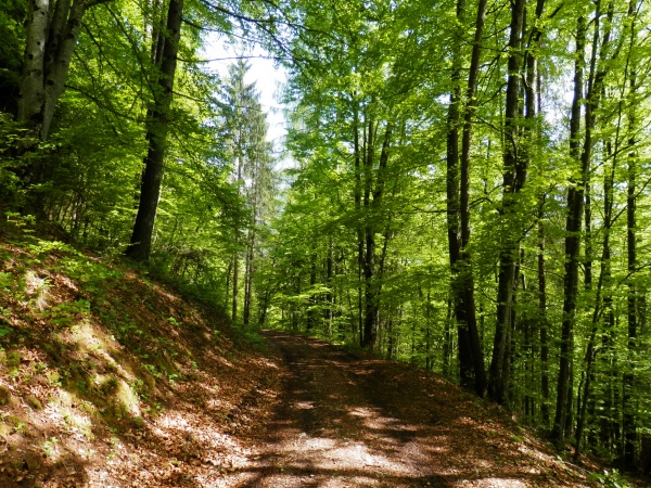
From Capanna Trieste follow the dirt road towards rifugio Vazzoler. After many switch back turns, at the base of Torre Trieste turn into path no. 558 on the right. Follow it in an easterly direction crossing the stretch of dwarf pines at the foot of the Tower.
Continue uphill and at a junction turn left (north) along path no. 558. Overcome a number of wide scree and karst valleys towards the Van delle Sasse saddle, before reaching it turn left towards Civetta Bassa’s wall.
The start of the ferrata is situated at an altitude of roughly 2600m and is marked with a red square. Follow the metal cables along ramps and vertical sections. A traverse to the left leads to an exposed ledge which you follow till you reach Pian della Tenda and from here soon reach Rifugio Torrani. From the hut the path leads in roughly 45 minutes to the Civetta’s summit.
Descent
You can descend along the uphill itinerary or along the normal route which leads to the Tivan path and then to the rifugio Coldai, thus tackling the group’s entire traverse.
General access
From Belluno take the Agordina state road as far as Agordo and then to the village of Listolade. From here, take the asphalted forestry road which goes along the Val Corpassa to the Capanna Trieste (1135m); park the car here and continue on foot along the white road.
Difficulty
Long and difficult itinerary in physical terms due to the remarkable length and vertical height gain. It requires excellent physical form. Technically difficult even if the equipped section is not very long.
Gear
Normal ferrata gear. At the beginning of the summer an ice axe and crampons can come in useful.
Maps
Cartina Tabacco 025
Before to start please verify the conditions of the itinerary contacting the Alpine guides of Val di Zoldo. Guide Alpine Val di ZoldoVia M. Punta 2/b
32012 Val di Zoldo (BL)
Tel: +39 328 2372767
www.guidealpinevaldizoldo.it [email protected]