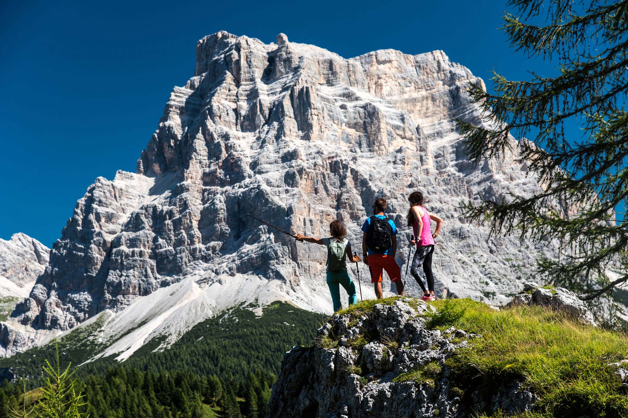
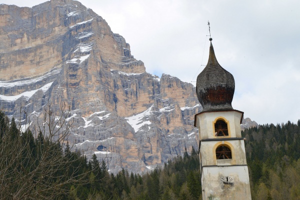
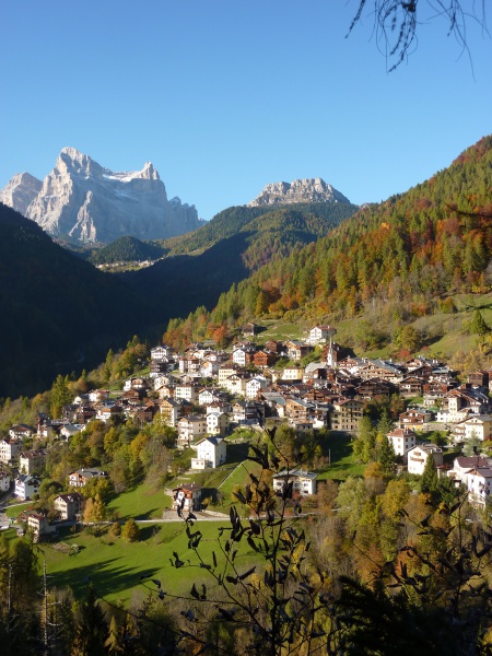
There are few mountain groups in the Dolomites that – while widely known for their rock faces that have earned a place in mountaineering history – have succeeded in maintaining an allure of solitude, a place where the magnificent, imposing rock walls can make the visitor feel small and alone. The mount Civetta mountain range is one of these now rare places in the Dolomites where, although its beauty and hiking routes – such as the Alta Via no. 1 – attract hundreds of trekking enthusiasts every year, it is still possible to experience a sense of solitude amid magnificent rock faces that make us feel a tiny part of a marvellous world made up of walking itineraries, mountaineering routes, vie ferrate and climbing routes that offer ample recompense for our efforts.
The Civetta massif (3220 m), along with its southern offshoot, the Moiazza (2878 m), forms one of the most imposing mountain groups in the Dolomites: 13 kilometres by 8. The actual rock core stretches from the saddle of Alleghe to the Duran Pass, for about 10 kilometres. The only point at which it is clearly separated from the group is Forcella delle Sasse, the saddle that separates the Civetta from the Moiazza, with an altitude of just under 2500 metres. The morphology of the group differs between the Alleghe and Zoldo sides, with large vertical rock walls on the north-west face, up to 1200 metres in height and about 4 km long between Cima Su Alto and Torre Coldai, while those looking onto the Zoldo side appear less steep.
In mountaineering circles, the north wall of the Civetta is known as "the wall of walls", because of the numerous climbing routes it offers, including the Solleder-Lettembauer, the Philipp-Flamm, and the Aste and Andrich routes. Other walls climbers aspire to are Torre Venezia and Torre Trieste, just above Vazzoler Refuge on the western side of the Civetta, as well as Torre di Valgrande, with the Carlesso route, and Torre d’Alleghe, with the Bellenzier route, on the Alleghe side. There are numerous climbing itineraries however, many of them particularly challenging.
I Rifugi
The refuges in the Civetta chain are the Coldai Refuge (2132 m), also renowned for the splendid little lake of the same name; the Tissi Refuge (2250 m), located on a rock spur hanging over the valley of Alleghe; the Vazzoler Refuge (1714 m), also known for its little botanic garden that is home to several species of alpine plants and flowers, and the Carestiato Refuge (1834 m), on the south face, at the foot of the Moiazza. On the Zoldo side is the Torrani Refuge (2984 m), located near the summit, which can be reached by taking the difficult normal route of the Civetta.
View from the summit
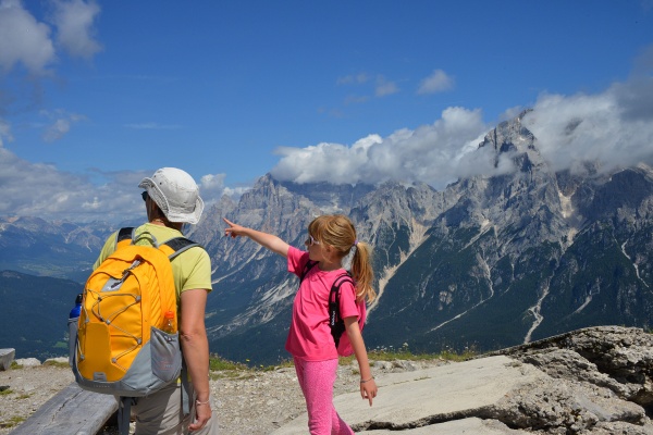
The summit of Monte Civetta offers a clear view of Monte Pelmo (3168 m) in all its extraordinary beauty, followed by the Antelao (3264 m), and by the peaks and valleys of the Cadore area. Towards north-west is the Marmolada (3343 m) and the Sella group (3152 m), towards south-west the San Sebastiano group and the peaks of the Dolomiti Bellunesi National Park. Views stretch over the valleys of Zoldo and the Agordino area, and some say that on a particularly clear day, you can even spot Venice and its lagoon.
Hiking routes, vie ferrate and normal routes
One of the favourite destinations of hikers and mountain lovers is the Sonnino al Coldai Refuge (2132 m), nestled amid magnificent rock faces, like the nearby lake with its crystal-clear waters.
From the Coldai Pass, you can continue north to the Tissi Refuge (2250 m) and on towards the Vazzoler Refuge (1714 m), both stages on the classic route across the Civetta, a hiking route that takes a total of about 7 hours, amid unforgettably spectacular scenery. Both the refuges can also be reached from the valley, from Alleghe and Listolade respectively.
On the east face, famous for its beauty is the Tivan path, a partially equipped hiking route that runs around the marvellous rock faces of the Civetta at altitude. These splendid routes are crowned by the Giro della Civetta, a hiking trip that takes at least two days, comprising the refuges and the network of paths that surround this mountain group.
Reachable from the Duran Pass, along a convenient dirt road or easy walking paths, is the Bruto Carestiato Refuge (1834 m), with the walls of the Moiazza towering above it and offering delightful views over the valleys of the Agordino area.
Lastly, more challenging are the routes leading to the Torrani Refuge (2984 m), which can be reached from the north-east along the via ferrata degli Alleghesi, from the south along the ferrata Tissi, and from east along the easier normal route. From the Torrani Refuge, you can continue up to the peak (3220 m).
The refuges for hikers in the valley are: (in Palafavera) Palafavera, Monte Pelmo, (on the Duran Pass) San Sebastiano, Tomé (in Listolade) Capanna Trieste.
The UNESCO Dolomites System 3
Monte Civetta is the highest peak in System 3 (Pale di San Martino, San Lucano, Dolomiti Bellunesi, Vette Feltrine), one of the serial sites in the Dolomites recognised by Unesco World Heritage as areas of inestimable, unique geological, landscape and natural importance. System 3 covers 3166 hectares and lies between the Province of Belluno and the Autonomous Province of Trento. It includes the following: Cima Civetta (3220 m), Cima della Vezzana (3192 m), Cima di Bureloni (3130 m), Cimon della Pala (3129 m), Pala di San Marino (2982 m), Cima della Fradusta (2939 m), Monte Mulaz (2906 m), Moiazza (2878 m), Agner (2872 m) Sass Maor (2814 m), Schiara (2565 m), Talvena (2542 m) and Burel (2281 m).
Skiing facilities in the Civetta area
At the foot of Monte Civetta is the ski area of the same name, where visitors can ski at an altitude of between 1300 and 2400 metres, along 72 km of runs with varying levels of difficulty, from light blue to black, as well as 5km of slopes open at night in the Val di Zoldo ski area, which truly is a paradise for skiers. In the summer, the ski area is popular with hikers and mountain bike enthusiasts, as well as families and tourists, who make the most of the opportunity to take the easy way up from the valleys of Zoldo, Alleghe and Selva di Cadore to places offering beautiful views and the chance to take some great photos, enjoy the peace and quiet of nature, or have a spot of lunch in one of the numerous refuges and mountain chalets: there are many in the ski area that open from December to March and then again when the ski lifts reopen in the months of July and August. Places to enjoy a bite to eat include Baita Civetta “al Casot”, Baita Cristelin, Ristoro Pian del Crep, Ristoro Su’n Paradis, the Pekatorum Refuge, Ristoro Col di Baldi, Baita Grande Civetta, Baita Scoiattolo, the Fertazza Refuge, Ristoro Belvedere and Baita la Ciasela.
Mountain dary huts
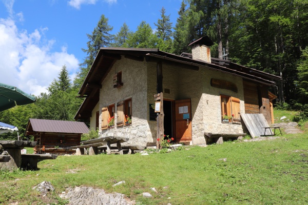
The mountain dairy huts in the Civetta area are open during the summer, offering visitors the chance to learn more about life on the mountain pastures and enjoy their produce. The Staulanza, Fontanafredda, Vescovà and La Grava mountain huts can be reached by car, or easily on foot.
Rock inscriptions
Discovered in the 1920s by the mountaineer and writer Domenico Rudatis, the purpose of the rock inscriptions – which according to the academic Ettore Ghislanzoni date to the early years of the Imperial Rome (1st/2nd century AD) – was to mark the north-eastern border with the territory of the Iulienses, subject to the jurisdiction of Iulium Carnicum, and the south-western border with the territory of the Belunati, who were administered by Belunum (the modern-day Belluno). They are located at three points on the northern slopes of the Civetta: on Davagnin, on the southern sides of Monte Fernazza, at the foot of the Crepe di Falconera north of the Coldai (the famous Tapp de le Parole), and in Val de le Ziolere, near the Righes mountain hut. Engraved on the rock, we can see the Latin words: FIN(es) BEL(unatorum) IUL(iensium).
Thanks to the Val di Zoldo section of the Italian Alpine Club for their invaluable collaboration in preparing the material.


