A very worthwhile walk, on a good road, immersed in thick woods which in sections opens up over the mountains of the lower Val di Zoldo. After the spring of water where there are tables and benches, instead of back tracking, you can extend the walk by climbing up the meadows of Pian.
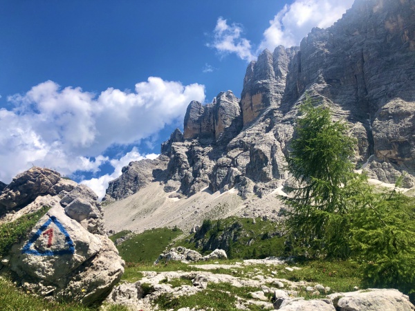
rom the square of Zoppè (small car park) go down the provincial road till you reach the last hair pin bend which from Bragarezza climbs up to Zoppè (Belvedere, 1.418m). Here, on the left (east) a forestry road (sign posts for La Mandra and Col di Piridei) begins, slightly flat it enters thick woods of fir and larch trees; after a few minutes, at the same height as a small hill, there is a sign post (loc. Livinai, 1.430 m) which indicates that the little road continues for Tabià Socroda and then, after a short uphill section, an opening (Nature Itinerary no. 7) with benches and a Christ. Go beyond the Piol tabià, where the view opens up over Rocchette, Mezzodì and Tamer-S. Sebastiano (from the left the path comes down from Col del Pian). Shortly beyond in La Mandra, on the left, two paths branch out, possible alternatives for whoever decides to shorten the itinerary; the first joins up with Pian level with the heliport, and the second path joins up with the first hair pin bend beneath the casera of Pian.
Continuing along the road, with slightly up and down sections, cross a stream and reach the Piridei lake, a small pool of water, crossed by a plank, in an area with benches and tables (spring of water on the left of the road). Continue, and ignore a detour to the right which ends in a descent and straight after a path descends from the left and further on you will find a junction: a branch of the road continues straight on towards tabià Socroda, while the second branch turns left (east) and climbs up, first of all steeply for roughly a hundred metres, then more gently, passes below Pian’s farmhouse (shut) and joins up with the road from Zoppè leading to the Ciandolada saddle and to the rifugio Vicenza shortly before the heliport.
Level with the heliport, on the left of the bend, a path descends to Col del Pian and then to the road taken at the start of the itinerary in correspondence with La Mandra. Continue along the road, and near the first houses the small road called Col de Costa heads downhill, in some sections very steeply, to end near a fountain at Villa. You can follow it to return to the starting point or else you can continue more easily along the road which leads to Bortolot and from there follow the provincial road to arrive at the starting point.
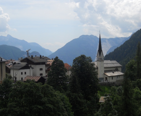
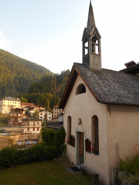
The origins of Zoppè
Every village has legends about its origins and Zoppè is no exception: a castle at Fies, a pagan cemetery, a countess from Zoppa who went to mass in Zoldo to be met by the parish priest in all his vestments, carrying a cross to the sound of the church bells, etc. etc. ...
But we all know what legends are, even if they are bound to have at least a shred of truth in them. Often reality and fantasy are combined and here we have, for example, Ottone Brentari in his “Guida storico alpina del Cadore e della Valle di Zoldo” (1886) writing “…the inhabitants of Gogna, fleeing from the Huns, built a castle in the Vth century on the hill of Fies, beside Zoppè; and there are some traces of an old road, called the road of the pagans like the cemetery of the pagans in Chiania which shows signs of habitations.
In 1198 iron workshops started up in the valley of Zoppè which lasted for centuries in the place still known as Pian del Forno". Historical data, however, confirms that Zoppè is relatively young. Before 1500 it couldn't be called a village, even if its origins go much further back. In fact, previously, a “Mons Zupedi” is mentioned (mountain of Zoppè: not in the modern sense, but rather as an area of pasture and meadows): and we find it called this in documents of 1155, 1216, 1357, 1369, 1428 and again in 1446, when the presence of three Masi (farm-houses) was confirmed there.
[contents: Unione montana Longaronese Cadore Zoldo]