On the snow

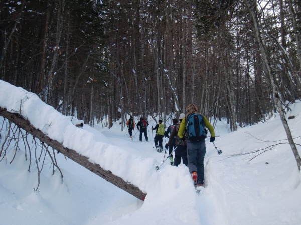
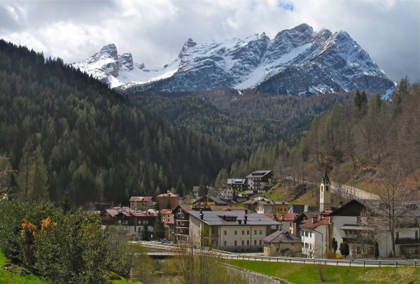
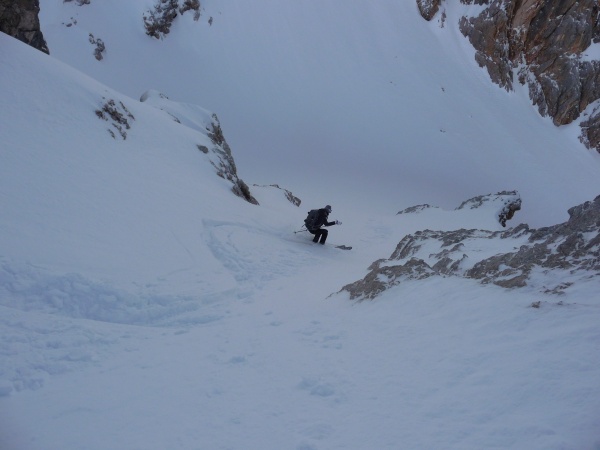
Amid landscapes like no other, with UNESCO World Heritage Status, downhill skiing in the Val di Zoldo offers the opportunity to have fun on the snow along 72 km of runs linked with one another, to relax in the 11 eateries within the Circuit, and, in Val di Zoldo, to also ski after dark.


UPDATES ABOUT SLOPES OPENINGS IN SKI CIVETTA: CLICK HERE.


Pecol skipass office : Ski Civetta and Dolomiti Superski skipass sale, information about slopes openings, details of ski pass promotions, ski slopes reservations.

  • Open every day from 8:00 am to 5:00 pm.


Val di Zoldo funivie Spa
Piazza R. Balestra 1 - Pecol
Val di Zoldo
Tel. +39 0437 789295
E-mail. [email protected].


Night skiing  

Open from 8/01/26

More info here


 Ski rentals in Val di Zoldo:


  • Palafavera noleggio attrezzatura sci e fondo - Palafavera - Val di Zoldo BL


Ski schools in Val di Zoldo:


  • Ski school Palafavera - Palafavera - Val di Zoldo, BL


Snowboard instructors


  • Fulvio Trentini - snowboard instructor


Experience the Zoldo Valley
Discover year-round activities in the Dolomites from Val di Zoldo
Summer

To Rifugio Bosconero

Difficulty: Medium
Time: 4 h
Altitude: 1.466 m
Difference in height: 642 m

The classic trekking route across the Civetta

Difficulty: Intermediate
Time: 7 h (8 h senza navetta/seggiovia)
Altitude: 2.219 m
Difference in height: 700 m (1000 m senza navetta/seggiovia)

To the source of the Maé - Le Palanche

Difficulty: Easy, for families
Time: 1 h
Altitude: 1.445 m
Difference in height: 57 m

Ferrata to rifugio Sora 'l Sas

Difficulty: equipped sections, not difficult
Time: 2,40h AR / up-down
Altitude: 1588 m
Difference in height: 447 m

Alta via n. 1

Difficulty: EE / EEA / A
Time: 12 giorni/days
Altitude: max Rifugio Lagazuoi (2752m)
Difference in height: Totale/total +7300m -8400m

Zig-zagging through the villages

Difficulty: Easy, for families
Time: 1 h 25 min.
Altitude: 1.321 m
Difference in height: 184 m


Share


Val di Zoldo is waiting for you

Summer

The Moschesin round-trip trekking route

Difficoltà: Intermediate
Tempo di precorrenza: 4 h (6 h e 30 min senza navetta)
Quota:
Dislivello: 400 m (800 m senza navetta)

To Rifugio Sora l' Sass

Difficoltà: Medium
Tempo di precorrenza: 3 h 30 min A/R (up/down)
Quota: 1,600 m
Dislivello: 626 m

With the trekkking stroller on the "Hay road"

Difficoltà: Easy
Tempo di precorrenza: 1 h
Quota: 1334 m
Dislivello: 78 m

The "Lizon" road

Difficoltà: Easy, for families
Tempo di precorrenza: 45 min.
Quota: 1.570 m
Dislivello: 118 m

The Alta via Dolomiti Bellunesi

Difficoltà: E; EE; EEA
Tempo di precorrenza: 7 giorni/days
Quota:
Dislivello: + 6100 m - 6370 m