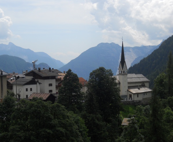
Vara dal Molin is a short itinerary in the grassy valley situated below the village which reaches the bridge and crosses the Ru Tort stream. The view overlooking the Zoldo mountains is beautiful. There may be some problems in case of rain, which makes a few sections quite slippery. Trekking poles may come in useful.
Leave your car in the car park in the main square, walk down the main road for a dozen metres till you come to a courtyard, where you turn left (north) into Strada del Fen,. This is flanked by a fine row of beech-trees and passes above the village houses turning into the road which climbs up to Pian among majestic centuries-old ash trees. Cross the road and follow the old dirt track above bordered by wooden huts and finally descending to Strenta del Zarnador, at the far end above the village (recently rebuilt mill).
Cross the bridge (in front of the road which climbs up to Pian) and continue towards Sagni. As the road starts to descend a sign post indicates “Zoppè di Cadore 1.475” and to the right a dirt road (strada del Col dal Pra) ascends with sign posts for Rifugio Venezia (n.471). Follow this and after roughly one hundred metres reach Col de dal Pra (1.500 m, crucifix and board explaining the complex geological stratifications of Mount Pelmo, great view over Pelmo). On the left, a dirt road descends (Strada della vena) which leads back to the houses of Sagui basso. Near the last house there is a sign post on the right Tamai-Brusadaz (n.497) and “Percorso Postazioni Zoppè Monte Punta” (which leads to Mount Punta’s trenches built during the 1915-18 Great War).
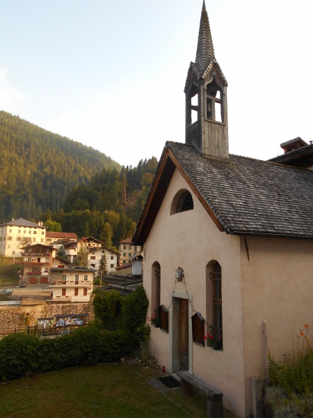
Walk down the steep path which is almost all steps and at the end of the slope traverse to the left on the flat. Shortly after you will find the detour which descends to the right at the bed of the torrent and crosses the bridge to join up with the road which leads to the casera di Bragarezza and to Passo Tamai. Instead you must keep going straight on crossing the uphill slope (downhill, near the stream is Vara da Molin where there are still the remains of an ancient mill), finally wade across the stream and go around the apse of the church, returning on to the provincial road beside Zoppè.
Mill
There were two mills on the Ru Torto or Ru Molinàt, both still functioning during the war: the Molin dei Bacoi to grind barley, destroyed in the flood of 1966, and the Molin dei Colet. Then there were still forges and sawmills all working with hydraulic power. The use of water as a driving force was not subject to any taxes in Cadore on account of the privilege awarded to the people of Cadore by Patriarch Bertrando in 1347, confirmed by Venice in 1420, by the French in 1800 and finally by Austria in 1832.