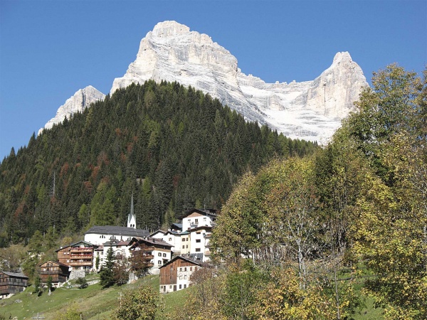
A 6 day excursion around the mountains of Val di Zoldo.
The Anello zoldano was devised in 1985 by Paolo Bonetti and Paolo Lazzarin connecting original paths with the aim of visiting all the mountains which crown Val di Zoldo.
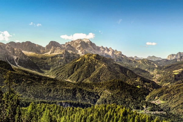
Characteristically, the circuit remains at the altitude of inhabited centres, which in case of necessity can be reached in a short time. It has its own route markings, even though they are not always present. The direction are however clear and the route is well signposted. The indicated route durations are approximate, referring to a not too loaded averagely fit walker. Each leg is limited (4 to 6 hours) allowing a fitter hiker to make trail variations and summit ascents. The rises in altitude are never excessive except for an over 1000 metres climb on the first leg.
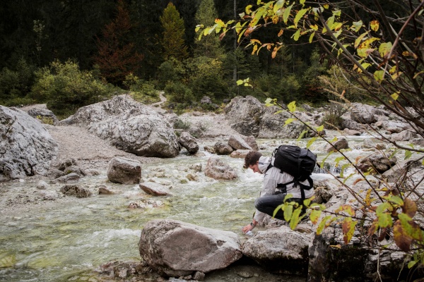
The itinerary progresses almost always below 2000 metres in altitude, touching the height of 2300 metres at Forcella delle Crepe di Moiazzetta and has a total rise in altitude of just more than 4000 metres. General mountain hiking gear is necessary. Not high mountain or rock climbing gear: the two short equipped sections can be avoided by extending the route around them, Mountain huts (rifugi) are found at the end of each leg and are open during high season when an overload of food supplies is superfluous.
I day: the Mezzodì range
Ascent: m 1150
descent: m 370
duration: h 5
Forno di Val di Zoldo (840 m), casera di Col Marsang (m 1290, h 1.30), forcella di Col Pelos (m 1800, h 3.30), Belvedere (m 1964), rifugio Angelini Sora 'l Sass di Mezzodì (m 1588, h 5).
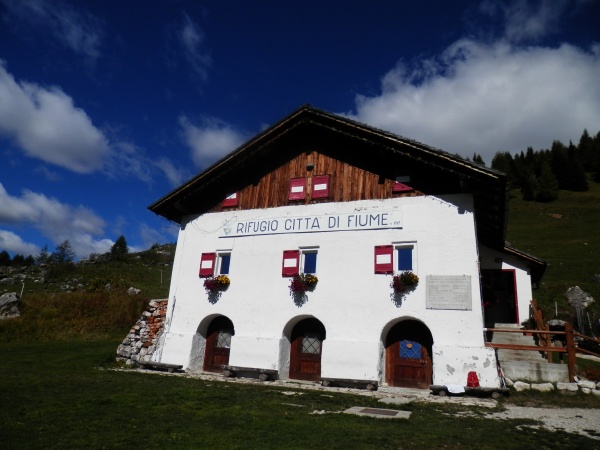
REFERENCE MOUNTAIN HUT:
Rifugio Angelini Sora Al Sas | Tel. +39 3279750778 | [email protected]
II day: Tamer - the San Sebastiano range
Ascent: m 750
descent: m 750
duration: h 5.30-6
Rifugio Angelini (m 1588), Val Pramper (Pian dei Palui, m 1480, h 1.30), Col del Mechiel (m 1491, h 2.30), Baita Angelini (m 1680), forcella di Val Barance (m 1688, h 4.30), passo Duran (rifugio San Sebastiano, m 1601, h 5.30).
REFERENCE MOUNTAIN HUT:
Rifugio San Sebastiano | Tel. +39 0437 62360 | [email protected]
III day: Moiazza Civetta
Ascent: m 1000
descent: m 450
duration: h 6-6.30
Passo Duran (1601m), Grisetti bivouac (1980 m), sentiero Angelini, forcella delle Crepe di Moiazzetta (m 2300, h 3.30-4), Tappa del Todesco (m 2281), sentiero Tivan, rifugio Sonnino al Coldai (m 2132, h 6.30).
REFERENCE MOUNTAIN HUT:
Rifugio Sonnino al Coldai | Tel. +39 0437 789160 | [email protected]
IV day: Pelmo
Ascent: m 300
descent: m 500
duration: h 4
Rifugio Sonnino (m 2132), malga Pioda (m 1815, min. 30), casera del Vescovà, forcella Staulanza (m 1715, h 1.30), rifugio De Luca al Pelmo (or rifugio Venezia, m 1946, h 4).
REFERENCE MOUNTAIN HUT:
Rifugio Venezia |Tel. +39 0436 9684 | [email protected]
V day: Col Dur - Rite
Ascent: m 470
descent: m 900
duration: h 5
Rifugio De Luca (m 1946), rifugio Talamini (m 1582, h 2), forcella di Val Inferna (m 1784, h 3), forcella Deona (m 2055, h 3.45), passo Cibiana (rifugio Remauro, m 1530, h 4.30-5)
REFERENCE MOUNTAIN HUT:
Rifugio Remauro | Tel. +39 3486906457 | [email protected]
VI day: Sfornioi - Bosconero range
Ascent: m 500
descent: m 1200
duration: h 5-5.30
Passo Cibiana (m 1530), forcella Ciavazole (m 1994, h 1.30-2), rifugio Casera di Bosconero (m 1475, h 3), casera del Mugon (m 1024), junction between provincial road 251 and 347, Forno di Val di Zoldo (m 840).
REFERENCE MOUNTAIN HUT:
Rifugio Bosconero |Tel: +39 3298363177 | mail: [email protected]
N.B. Organise in the best way your trip in the Dolomites. During your personal organisation of the itinerary before your start, please verify the weather forecasts, the opening and the availability of the refuges.