Hiking: medium-difficulty routes

The Moschesin round-trip trekking route

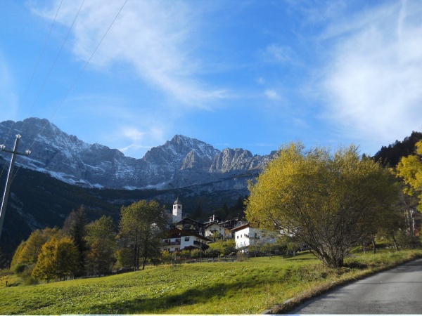
The Moschesin round-trip route is a generally easy trekking trail that runs through the marvellous landscape of the Dolomiti Bellunesi National Park, offering a clearly marked path to follow through the heart of the Dolomites at their most unspoilt, between the Moschesin peaks and Monte Pramper.

The route starts out from Pian de la Fopa (1180 m), from which you can take the Pramper shuttle ( from 9.30 a.m. to 5.00 p.m. - June sundays only, July Sat and Sun - August every day). The shuttle will take you to the point where path no. 540 starts out; otherwise, you can walk to it in about an hour along the dirt road that leads to the Malga Pramper mountain pasture.
 
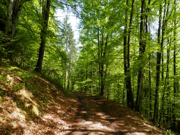
Clearly visible just before you reach the mountain pasture is the start of path no. 540, which climbs up through fragrant Swiss mountain pine trees and patches of woodland. Enchanting views of the two main peaks, Castello di Moschesin and Monte Pramper, will accompany you all the way up. Once you reach the top of the Moschesin Saddle, you can stop for a moment to learn more about the history of the ruins of the Moschesin Fort, dating back to the Great War and located on the Yellow Line, the Veneto resistance line that ran from Asiago to the Marmolada.
 
From this point, follow the indications for the “panoramic” path that joins up further along with path no. 543. The round-trip route continues to the Sommariva "Al Pramperet" Refuge (1859 m), surrounded by the colours of the Prà de la Vedova plateau. The return route follows path no. 523, to Malga Pramper (1540 m) and then along the dirt road to Pian de la Fopa (until 5.00 p.m. you can reach Pian de la Fopa from Malga Pramper Pian de la Fopa with Zoldobus). It is well worth stopping off at the Malga Pramper dairy hut to sample some of the cheeses from the mountain pasture.


Thanks to the Val di Zoldo section of the Italian Alpine Club for their invaluable collaboration in preparing the material.


Download track: GPX


Difficulty: Intermediate
Travel time: 4 h (6 h e 30 min senza navetta)
Difference in height: 400 m (800 m senza navetta)
Dolomitic Group: Monte Pramper, Castello di Moschesin
Departure: Pian de la Fopa (1180 m)
Arrival: Pian de la Fopa (1180 m)
Recommended period: Summer
Attendance: High


Share
Summer

To the source of the Maé - Le Palanche

Difficoltà: Easy, for families
Tempo di precorrenza: 1 h
Quota: 1.445 m
Dislivello: 57 m

La strada del formai

Difficoltà: Easy, for families
Tempo di precorrenza: 1 h 40 min
Quota: 1.690 m
Dislivello: 246 m

Su'n Paradis - from Pian del Crep Hut

Difficoltà: Easy, for families
Tempo di precorrenza: 40 min.
Quota: 1877 m
Dislivello: 112 m

Alta via n. 1

Difficoltà: EE / EEA / A
Tempo di precorrenza: 12 giorni/days
Quota: max Rifugio Lagazuoi (2752m)
Dislivello: Totale/total +7300m -8400m

Below Moiazza’s amphitheatre - Valle di Goima

Difficoltà: Easy, for families
Tempo di precorrenza: 25 min
Quota: 1252 m
Dislivello: 70 m