From Passo Duràn (provincial road 347) to Rifugio A. Sonino al Coldai
The third stage enters the realm of the Moiazza and Civetta, one of the most technical and spectacular sections of the Anello Zoldano.
From Passo Duràn, on the west side of the road, near Rifugio San Sebastiano, take trail 578, which crosses a wet pasture and then plunges into the forest. Some ups and downs and a gravelly gully (the “Livinàl del Bus”) lead to a steep section (“el buràngol”), beyond which the trail continues with a more moderate slope to the north, up to a terrace hosting the ruins of Casèra Moiazza (1,754 m, about 2 hours). Here, a well-marked trail, 559, arrives from Le Vare (in Chiesa, Val di Góima).
From the Casèra Moiazza plateau, you can choose between the basic route - more mountaineering and reserved for experienced hikers - and a technically less demanding, though no shorter, route.
Basic route – for experienced hikers
Follow comfortable trail 559 uphill to the lower edge of Vant della Moiazza and the Grisetti bivouac (2,050 m, 2 hours and 45 min). The track continues by crossing the large gravelly Vant cirque to the north along the “Sentiero Angelini”, then reaches the foot of the Crépe di Moiazzetta, passing through a lower saddle, Forcella Inferiore delle Crépe (2300 m, 3 hours and 30 min), equipped with a wire cable on both sides. This is the most challenging passage of the third stage, requiring a firm step and confidence on rough terrain: the ascent to the Forcella Inferiore has some easy climbing sections; at the same time, the descent from the saddle runs along a sloping gravelly ledge that you must tackle with caution. You then descend on gravel to the Vant della Moiazzetta della Grava and climb up to Col del Vant (2,324 m).
The track continues across the talus originating from Forcella delle Sasse, which separates the Moiazza and Civetta, crosses trail 558 arriving from Forcella della Grava and brushes against the basal layer of Piccola Civetta. A little further, at about 2,128 m, you join trail 557, also descending from Forcella della Grava; after about 5 hours and 30 min, the track branches off on the left towards the start of the standard route to Mount Civetta. Continue along 557, known as the “Sentiero Tivan”, which runs along Civetta’s imposing face from the east and passes the detour for the Ferrata degli Alleghesi.
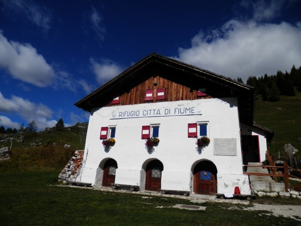
You then reach a short, exposed section equipped with steps and a wire cable (you can bypass it via a detour along the northern base of Crodolón, losing about 80 m of altitude and climbing to rejoin the track you left earlier). After that, you soon meet trail 560 descending from Forcella Coldai, and reach Rifugio A. Sonino al Coldai (2,132 m, about 8 hours).
Less challenging variant
If you want to avoid Forcella Inferiore, you can take a detour along trail 578 from the Casèra Moiazza ruins (1,754 m, 2 hours), which descends south with a steep, rocky but not difficult stretch towards the middle Val della Grava, reaching the valley-floor road. Follow the road along trail 557 to Casèra della Grava (1,627 m), then climb up to Forcella della Grava (1,784 m), an important trail intersection. Here, turn left onto trail 557, which leads to the “Sentiero Tivan” and rejoins the base track just before the detour for the Civetta normal route.
Elevation gain and times are similar to the original route.