This itinerary winds through the coniferous woods situated to the north of Zoppè di Cadore, on the slopes of Monte Penna. The itinerary is evident and tracked, but fairly long with a few steep uphill and downhill sections. We recommend you use trekking poles. After abundant rainfall there may be difficulty in crossing the first stream.
Leave your car in the car park in the square and following the main road (on the left of S.Anna’s church) reach the end of the village (Strenta del Zarnador, fountain, sign posts) where you pass by the bridge on the left (on the right the road climbs up towards to Pian) and go through Sagui.
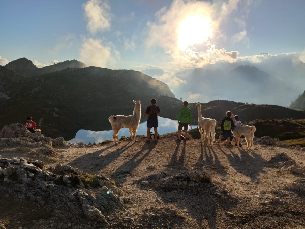
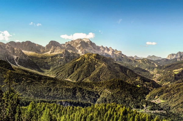
From here the road starts to go downhill with a sign post “Zoppè di Cadore 1.475”, while to the right a dirt road heads uphill, sign posts for Rifugio Venezia (n.471). Follow this (Col da Pra road) and after roughly one hundred metres reach Col dal Pra (1.500 m, a dirt road from Sagui basso comes from the left), where you will find a crucifix, benches and a board explaining the complex geological stratifications of Mount Pelmo. The view over Mount Pelmo is beautiful. Straight after you will see a junction: the narrow road continues straight on heading uphill towards Jal de Batista, while to the left (sign posts for Costaza and Rifugio Venezia) it heads downhill crossing the stream (sometimes difficult after heavy rain). Follow the latter and start to go uphill, after a dozen metres ignore the detour to the left and continue up the eastern slopes of Col di S.Anna (sign post: rifugio Venezia) along a path with steps. It goes up more than one hundred metres of vertical height into the sparse woods of larch and fir and as the slope becomes gradually less steep you reach a fence (1.680 m roughly 40 mins).
Beyond this continue uphill along path no.471 towards rifugio Venezia, while to the left a dirt road heads down towards the casera di Rutort (1.670 m); the narrow road continues beyond the fence towards the right (east), it then becomes a path, crossing a flat area which is marshy and continues with up and down sections till it turns decisively to the right (south) heading down to Zoppe (marked Cai 471). At the end of it head onto the forestry road (which heads up towards Costa della Grava) and then to the right, towards Riva del Pont, to return to the starting point.
La strada del formai
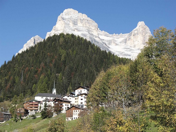
An ancient road linking up Vodo and Rutorto used for the pastures at the foot of Mt. Pelmo. This road was already mentioned in documents at the beginning of the 1200s, known as 'the mountain road' as well as 'the pagan road'. The Vodo road, going over the Ciandolada pass, cuts through the meadows of Fies as far as the Pecol junction, where one road branches off across the Fraine pass going down to Zoppè while the other goes through Tamaril and Costazza to Rutorto. At the beginning of the 1600s the cheese hut of Rutorto was transformed into one for cattle and since this road was also used to transport dairy products it took the name of "Strada del formai".
[contents: Unione montana Longaronese Cadore Zoldo]