The full itinerary is a very satisfying walk to the base of the Tàmer - San Sebastiano group (Dolomites Unesco, System 3 - Dolomiti Bellunesi), in Val Barance (translated from dialect: "the valley of mountain pines"). The Vach basin, once a pasture area is covered partly by a pond below a beautiful waterfall which falls directly from the rocks of the bastion beneath Scarselòin, where the bivouac Baita V. Angelini (1680m) is situated. On the way back the itinerary passes by Colcervèr, one of the most attractive villages of the valley. The hut Casera al Pian and Colcervèr can be considered as two separate destinations for pleasant and independent itineraries, reducing the approach time by half.
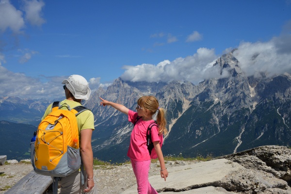
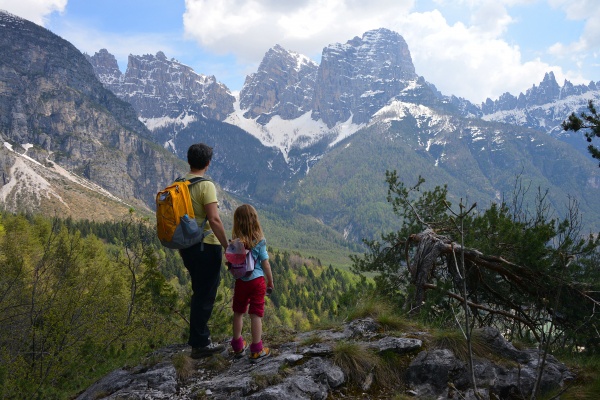
Once you have crossed the bridge over the Malìsia beyond St. Andrew’s church park the car in the wide space. Now climb up Val dei Zoc on the Malìsia’s orographic right hand side, along the trail which continues directly from the car park and heads uphill to Casera del Pian. If you choose to you can stop the walk at the casera (1162m, 40 mins) using the forestry road on the way back and the path on the torrent’s orographic left. Once you leave the “casera” on the left, continue along the road (which stops shortly above, at the source of the Malìsia) ignoring a detour to the left (which climbs up to Baita Angelini) and continue along an open area (you can see the ridge of Punta-Col Dur-Rite, Mount Pelmo and Antelao) reaching the basin of Vach, in spring-time the little lake is populated with thousands of tadpoles (1361m, 1 hour and 30 mins).
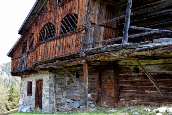
A short path leads to the bottom of the waterfall while quite a difficult trail which is not recommended allows you to reach the source of the waterfall about a hundred metres further up. On the way back follow the path which heads off from the western end of the lake and descends into the thick fir and larch woods to then end up on open meadows, passing slightly above the Colcervèr “casera” and for a last striking section flanked by rows of beech trees reaches the village of Colcervèr (1221m, 1 hour), full of beautiful wooden huts and with an old church which dates back to the beginning of the 1800s named after the Saints Ermagora and Fortunato, from whose edge a landscape of rare beauty dominates.
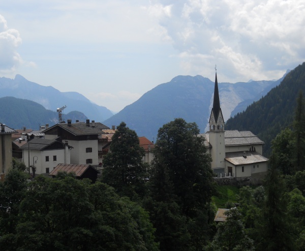
From here a beautiful road, which is narrow but asphalted, heads down with switch back turns to Pralongo. Alternatively you can descend more quickly along the old path which joins the two villages, and begins at the bottom of Colcervèr.
Charcoal
Along the Val Barance some open spaces can be seen with rounded surfaces. Scraping these with a stick causes some very black earth to appear because it was here that the charcoal was prepared for use in the forges and furnaces. In the summer a large area in the woods was flattened out and trunks of trees cut in spring were piled up here. The heap was covered with bushes, leaves, earth and then moss and earth, then 'carbonised', or rather burnt without oxygen. The combustion continued for days and nights, constantly watched to avoid the wood burning or the fire spreading to the forest.
The forge
A "fusinela" where iron is worked was built at Pralongo, this is what a forge is called in local dialect. Up until the end of the 19th century dozens of forges were fully active along the banks of all the rivers in the valley, where they could easily exploit the water to activate the hammers and the air to help stoke the forges. During the period (XV and XVI centuries) of maximum output they managed to produce 400 tons of work implements and especially nails of every shape and size, which also supplied the shipyards of the Republic of Venice. Almost all of them were destroyed on the night of 29-30 August 1890, when there was a terrible flood which also caused the deaths of 23 people and left hundreds homeless.
[Contents by Unione montana Longaronese Cadore Zoldo]