Zoldano Loop

Stage 6: Bosconero Group

From Passo Cibiana (provincial road 347) to Ciambèr (Forno di Zoldo)


The final stage closes the Circuit by returning to Val di Zoldo through the wild Bosconero Group, amongst dense woods, isolated saddles, and an authentic alpine refuge.


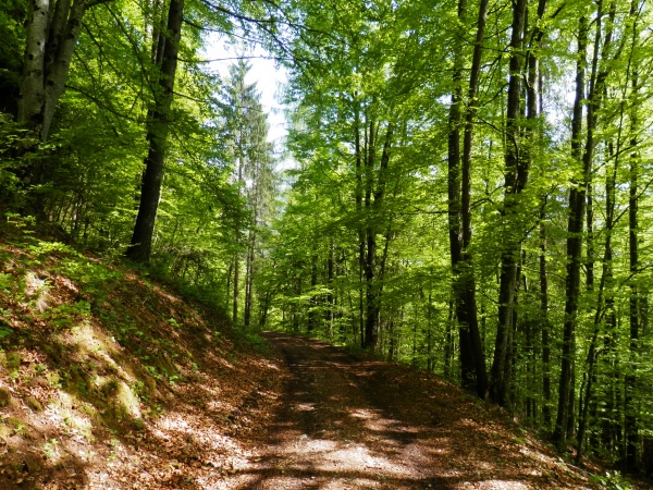
South of the Cibiana Pass, take a cart track that briefly enters a meadowland, then turn left onto a forest road (483, section of Alta Via no. 3) that climbs into the woods. After a steeper ramp, once you reach a widening, leave the main track because it leads to Casèra Copàda Alta (1,692 m), and take trail 483 skirting up Spiz de Copàda from the east.


Once out of the woods, you reach a three-way intersection near Pian d’Angiàs (1,873 m, 1 hour and 30 min): take no notice of trail 483 on the left (to Forcella Bèla Impradìda) and trail 485 on the right (to Forcella de la Calàda), continuing on the central branch which, after crossing a small valley, pitches up on waymark 485 to Forcella delle Ciavazòle (1,994 m, 2 hours). Here the panorama opens up on the Val Bosconero side, which you reach by descending south along a steep scree slope. The descent into the Ciavazòle gully, often prone to rockslides, requires firm steps and particular caution. Some fixed ropes help get through the most challenging sections. At the base of the gully, you reach a junction: ignore the trail on the left (482) as it stays high and continues to Forcella di Toanella (Alta Via no. 3), but go east downhill along trail 485, which returns into the forest and, with no significant changes in elevation, leads to the clearing of Rifugio Casèra Bosconero (1,475 m, 3 hours and 30 min).

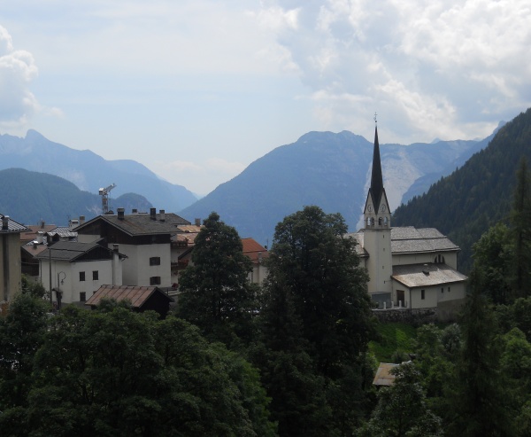
From the refuge, follow trail 490, which descends steeply into the Val Bosconero. After crossing the Ru di Bosconero, the track continues in the woods with a more moderate slope up to a junction in Pian del Mugón (1,060 m). Here, you will leave trail 490, which descends directly to state road 251 in Pontesèi, and take trail 491, as it remains fairly level heading west, below the Pale degli Uselóin and Castelìn. Past the junction for Casèra del Fagarè, begin the final descent, ending at the intersection of provincial roads 251 and 347, in Ciambèr, about 1.5 km from Forno di Zoldo (812 m) and Le Bócole (6 hours in total from Passo Cibiana).


Difficulty: moderate-high
Length: 11,5 km
Travel time: 6 h
Altitude: 1997 m
Difference in height: 540 m
Land: trail
Dolomitic Group: Bosconero
Departure: Passo Cibiana
Arrival: Ciambèr (Forno di Zoldo)
Recommended period: summer
Attendance: moderate


Share
Summer

The Alta via Dolomiti Bellunesi

Difficoltà: E; EE; EEA
Tempo di precorrenza: 7 giorni/days
Quota:
Dislivello: + 6100 m - 6370 m

To Rifugio Sora l' Sass

Difficoltà: Medium
Tempo di precorrenza: 3 h 30 min A/R (up/down)
Quota: 1,600 m
Dislivello: 626 m

The tour of Mount Pelmo

Difficoltà: Itinerary which requires excellent physical form
Tempo di precorrenza: 6-7 h
Quota: Forcella Val d'Arcia - 2.476 m
Dislivello: 856 m

The waterfall and the Alpine lake "Al Vach".

Difficoltà: Easy, for families
Tempo di precorrenza: 3 h
Quota: 1.361 m
Dislivello: 381 m

Hamlets worth discovering

Difficoltà: Easy, for families
Tempo di precorrenza: 1 h 30 min.
Quota: 929 m
Dislivello: 89 m