Snowshoeing

Snowshoe excursion | Al Vach Lake

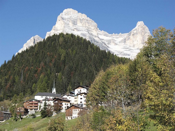
From the car park at the end of the village of Pralongo (985m), you return to the bridge to reach the church of Sant’Andrea (fountain).

Just before the church turn left and shortly after the paved road gives way to a wide snowy track that runs uphill, ascending the Malìsia stream that flows to your left.


Note: if you want, you can alternatively take the road that starts directly at the car park, keeping the Malìsia stream on your right. The trip is just a few kilometres longer and more gradual but, since it is the service road of the Casera del Pian farmhouse, it is partially paved and cleared of snow. So, the path is easier but you will have to take off your snowshoes.


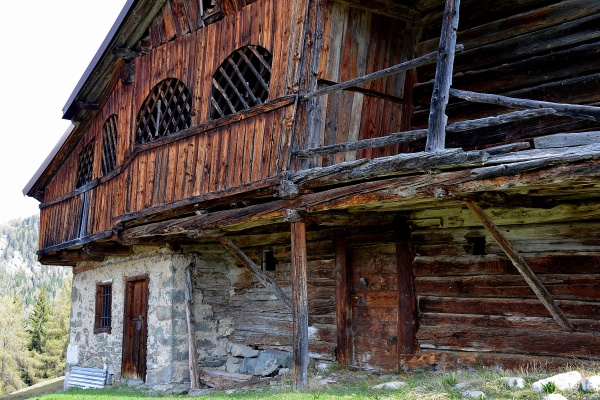
The wide track climbs steadily up to a bridge (1162m). Deviating over the bridge on the left, in a few steps you can reach the Al Pian farmhouse.
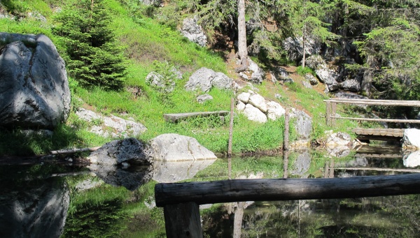
To reach Lake Vach instead, go to the right (yellow sign), continuously uphill, taking no notice of the various junctions marked, and you easily get to another clearing where you can see the lake and the waterfall that feeds it.


From the lake, on a short path and then a forest road or going back on the left along a forest road, slightly downhill you can reach the picturesque village of Colcerver. If from here you want to descend to Pralongo, do not follow the paths that go down directly (steep and icy) but take the longer paved road (possible presence of ice here too).
Another option is to reach the Col de le Ole from the shadier side of Dont.


Before embarking in a winter excursion, check out weather forecasts and snow conditions.

We remind you that from January 1st, 2022 a new legislation on winter excursions is on force: self-rescue disposals are mandatory for all winter excursionists in avalanche prone environments.


Discover the summer circular trekking for families along the Val Barance: Easy walks in Val di Zoldo: The waterfall and the Alpine lake "Al Vach"


Download track: GPX


Difficulty: Easy - please verify before your excursion the weather and snow conditions
Length: 3,5 km (A) / 6km (A) per Colcerver
Travel time: 3/5 h (A/R)
Altitude: 1361 m / 1221 m
Difference in height: 370 m
Land: Fresh snow on dirt track
Dolomitic Group: Tamer - San Sebastiano
Departure: Pralongo – Chiesa S. Andrea (985m)
Arrival: Al Vach lake (1361m) – Colcerver (1221 m)
Attendance: Average / High


Share
Fall

Vara dal Molin

Difficoltà: Easy, for families
Tempo di precorrenza: 1 h
Quota: 1.500 m
Dislivello: 106 m

Zig-zagging through the villages

Difficoltà: Easy, for families
Tempo di precorrenza: 1 h 45 min.
Quota: 1.321 m
Dislivello: 184 m

Cool clear and fresh water - Val Pramper

Difficoltà: Easy, for families
Tempo di precorrenza: 1 h 45 min.
Quota: 997 m
Dislivello: 157 m

Via Normale - to the top of Mount Pelmo

Difficoltà: See the description
Tempo di precorrenza: 8-10 h
Quota:
Dislivello: 1200 m dal/from Rifugio Venezia

The ascent of the mount Civetta

Difficoltà: cable-equipped sections, overall difficult
Tempo di precorrenza: 6-7 h dall'attacco/from the start of the climb
Quota: 3220 m
Dislivello: 770 m dall'attacco/from the start of the climb