This is an itinerary to the last and most recent construction in the Cadore-Maè fortifications, most of which is recognisable even if it is seen in the context of a comprehensive reconstruction to create a mountain museum and the Hotel Dolomites. From the Cibiana pass, take the good military road (route 479) that climbs the slopes of Mount Rite at a constant gradient (the maximum is 11% one kilometre from the top), passing the Deona pass (2,053 m) before the last section reaches the fort. From the La Costa hay barns at about 1,600 metres you can take an attractive path through the woods to the left, coming out onto the road further above near the Deona pass, thus avoiding the inconvenience of the shuttle buses passing. Rendezvous: Albergo Remauro at the Cibiana pass, from which the ascent to the summit (2,183 m) may be made either on foot or by shuttle service.
THE FORT ON MOUNT RITE
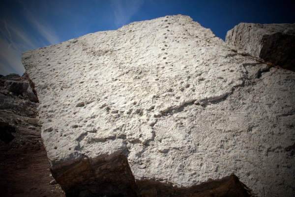
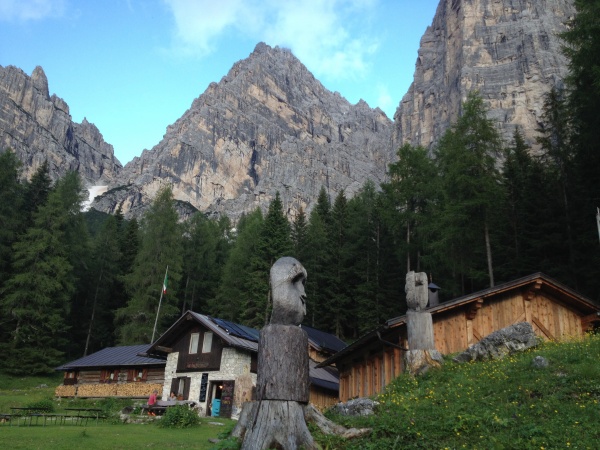
This structure, built 2,183 metres high from 1911 to 1915, is the last and most recent in the Cadore-Maè fortifications. There were extenuating discussions concerning the route to be taken by the access road to the top of the mountain, at the end of which the Municipality of Cibiana ceded all the council land necessary for the construction of the entire road and the fort gratis by virtue of an agreement entered into with the Army on 15 December 1911 and it was decided that the road should start from Venas and not from Valle. The works on the summit, mostly awarded to contractors Rebonato & Toffanin, underwent substantial delays that entailed the whole complex being unprepared when war broke out. The Cozzene barracks were also unfinished, as also numerous mule tracks and secondary positions. The first section of the road was of considerable benefit to the civilian population, because it was the first real access route to the key-making village. It led to the Cibiana pass and then to the top of the mountain, as far as the square in front of the great barracks. The barrack building was more than sixty metres long and seven metres high, twostoreyed and with 18 rooms in all. From the right-hand side a tunnel more than 20 metres long led to another square further east where there was another onestorey building composed of two units used as storehouses.
To the right was the mule track leading to battery height, continuing towards the artillery observation post and the Cross of Mount Rite. A tunnel excavated out of the rock more than 50 metres long allowed covered access to the battery, and a further stretch of road led from the barrack square to the entrances to the powder-magazine and the explosives workshops. The cordite and ammunition depot, consisting of a large room about 120 square metres in area, was reached through a crooked tunnel dug out of the rock 35 metres long. The battery consisted in an upside down U-shaped concrete block 81 metres long, 20 metres wide at the ends and 15 at the centre, with bush-hammered stone perimeter walls and internal walls in stone. Four gunpits had been made in this structure, with access ramps connected with each other by a communicating corridor 78 metres long and 3 wide, with a smooth cement floor. As many as 14 rooms were constructed off this corridor and between the gunpits for use as munitions stores and a large room for the accommodation of the gun crews, under which big water tanks were constructed. In the gunpits were four 149 A cannons under armoured Armstrong cupolas constructed from three nickel steel plates 140 mm thick. The guns, on the basis of a range of about 14 kilometres, which was possible with a monobloc shell, controlled the main directions an enemy advance could take from Cortina to the Zoldo area and also from the Marmarole to Cridola. About 50 metres from the left-hand side of the battery, four emplacements were created for 149 cannons on carriages and, about 200 metres away between the Deona pass and the fort, a series of buildings were constructed as officers’ quarters, canteens, storehouses, a bakery, depots, kitchens, shelters and so on. An organic system of barbed wire entanglements surrounded the line outside the fort so that the defence troops could throw back any surprise attacks the enemy might make, perhaps with the help of darkness and fog.
At a height of 2,013 metres, two hundred metres under the Deona pass, a big two-storey barracks was prepared to receive soldiers and gendarmerie and as an infirmary, while north-west of Mount Rite, 1,793 high under the Cross of Mount Rite, another barracks, also intended to have two storeys, was started but never finished. A tunnel 3 metres wide and more than 50 long was excavated, but remained uncompleted, at Col del Turno at an altitude of 2,013 metres, which could be reached by a vehicular road from the pass 1,983 metres high. This tunnel went from one side of the mountain to the other, coming out with an emplacement for guns trained in the direction of the Boite valley from Borca to Cortina: it was intended to take 149 G pieces on carriages. All trace has been lost of another similar tunnel in the immediate neighbourhood. On the outbreak of the Great War, Rite was garrisoned by the 10th Company of the 1st Group of the 7th Fortress Artillery Regiment (regular army) and the 62nd Company of the X Presidario Battalion, a total of 300 men. It had four 70 M cannons, four 75 A and four 149 G, while 149 A pieces in turrets were in the process of being installed. Austrian reconnaissance surveys on 4 November 1917 show that, after Caporetto, the fort was still functioning perfectly, but was already being abandoned by its garrison. After taking a substantial amount of munitions from the fort, the Austrians damaged it disastrously in October 1918, leaving salvagers the job of taking materials left behind, both large and small, down to the valley.
[texts: GREAT WAR SITES IN THE PROVINCE OF BELLUNO Preservation and promotion of the areas in the Memorial Park Project co-financed by the European Union through European Found for Regional Developmen Community Initiative Interreg IIIA Italia-Austria 2000-2006 - Project (Cod. VEN 222001) - thanks to Unione montana Agordina]