Zoldano Loop

Stage 5: Col Dur - Rite

From Rifugio Venezia (to Pelmo) to Rifugio Remauro to Passo Cibiana


The fifth stage leads the hiker along the southern edge of Val di Zoldo, between the elegance of Pelmo and the ridges of Col Dur and Monte Rite, dotted with traces of military roads and views of the Ampezzo Dolomites and Cadore.


From Rifugio Venezia, follow trail 471 south, cross the Passo di Rutorto pastures and join a military-era dirt road. The track runs along the south-western slopes of Monte Penna and gradually descends towards Zoppè di Cadore. Before reaching the town, at Cristo de le Fraíne (1,600 m, 1 hour and 45 min), leave the main road to take a cart track on the left marked 456, which climbs gently eastwards up to Forcella Ciandolàda (1,565 m, 3 hours) and to Rifugio Gianpietro Talamini (1,582 m), a balcony overlooking Cadore.

Continue on path 494 surrounding the northern slopes of Col Dur; after the junction with trail 478, a steeper section leads to Forcella di Val Inferna (1,784 m, 4 hours), separating Col Dur from Col Alto. Without crossing over the saddle, leave trail 494 and follow trail 478, which cuts the north side of Col Alto and climbs towards Forcella Deona (2,055 m), a narrow pass between Col Alto and Monte Rite. Here, you join the military carriageway that climbs from Passo Cibiana and leads to the former military fortifications of Monte Rite: the road, with a regular course, ends on the mountaintop (2,183 m, 5 hours and 30 min), where lies the Rifugio Dolomites, just a few minutes from the summit.

From the top, overlooking Pelmo, Antelao, and the central Dolomites, take the same road that carves the south side with many hairpin bends, descending comfortably to Passo Cibiana (1,530 m) and Rifugio Remauro (6 hours and 30 min).


Difficulty: moderate
Length: 18,8 km
Travel time: 6,30 h
Altitude: 2062 m
Difference in height: 585 m
Land: forest road, footpath, paved mule track
Dolomitic Group: Col Dur - Rite
Departure: Rifugio Venezia - Alba Maria De Luca (al Pelmo)
Arrival: Rifugio Remauro al Passo Cibiana (sp 347)
Recommended period: summer
Attendance: good


Share
Summer

To the Dinos' footprints

Difficoltà: Moderate
Tempo di precorrenza: 2 h 30 min A/R
Quota: 2.041 m
Dislivello: 277 m

Alta via n 3 "of the chamois"

Difficoltà: E, EE, some brief segments of EEA
Tempo di precorrenza: 8 giorni/days
Quota: max Forcella Ciadìn del Lòudo, 2378 m
Dislivello: +6200m - 6800m

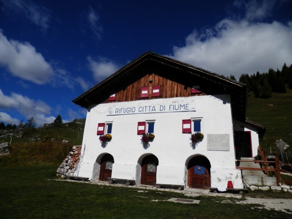
With the trekking stroller to Rifugio Città di Fiume

Difficoltà: Easy
Tempo di precorrenza: 50 min
Quota: 1918 m
Dislivello: 243 m

With the trekking stroller to the Talamini refuge

Difficoltà: Easy
Tempo di precorrenza: 2h 30 A/R
Quota: 1586 m
Dislivello:

Spiz Zuel, a balcony on the valley

Difficoltà: Easy
Tempo di precorrenza: 3 h A/R
Quota: 2.027 m
Dislivello: 453 m