Piccolo Anello Zoldano

Stage 2: Colcervèr – Dont

On the northern edge, from the quaint little square of this small settlement, continue along the dirt road to the hamlet of Dont, then follow the red-and-white CAI (Italian Alpine Club) trail sign, no.539 (1250 m).


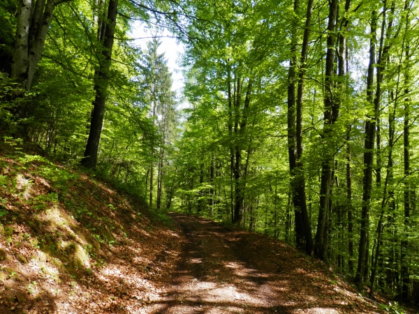
The remarkably beautiful track runs through a tall mixed beech and conifer forest and, sloping gently, reaches the hamlet of Col de le Ole (1415 m); here, leave trail 539 as it would lead you to the upper Val Barance, a rough and bewitching valley.


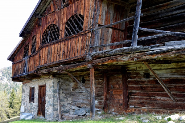
The forest path now runs downhill through high coniferous woods to the Asinera pasture (1050 m), with its last part characterized by well-restored small rural buildings.


After crossing the Moiazza stream (960 m), you reach the hamlet of Sottorogno (963 m), and further to Dont  (931 m) along the old road that skirts the stream.


Difficulty: easy
Length: 5,4 km
Travel time: 2,15 h
Altitude: 1398 m
Difference in height: 180 m
Land: dirt road
Departure: Colcervèr
Arrival: Dont
Recommended period: spring, summer, autumn


Share
Autumn

With the trekking stroller to Mas di Sabe

Difficoltà: Easy
Tempo di precorrenza: 30 min (A/R - total time)
Quota: 1465 m
Dislivello: 44 m

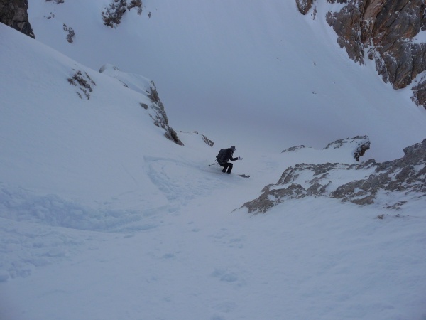
Ski-mountaineering - Vant de le Sasse

Difficoltà: BSA - please verify before your excursion the weather and snow conditions (Arpa meteo)
Tempo di precorrenza: 4-5 h
Quota: 2570 m
Dislivello: 950 m

The Centuries-old wood

Difficoltà: Easy, for families
Tempo di precorrenza: 1 h 30 min.
Quota: 1.065 m
Dislivello: 176 m

Ski-mountaineering - Col de la Puina

Difficoltà: MSA - please verify before your excursion the weather and snow conditions (Arpa meteo)
Tempo di precorrenza: 3-4 h (salita e discesa/ ascent and descent)
Quota: 2253 m
Dislivello: 600 m

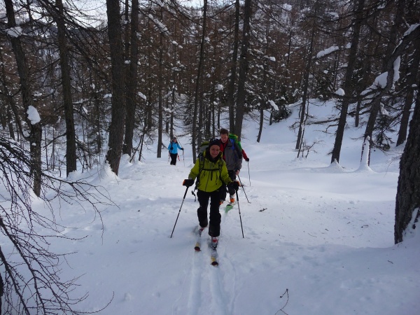
Ski-mountaineering on Mount Punta

Difficoltà: Easy - please verify before your excursion the weather and snow conditions (Arpa meteo)
Tempo di precorrenza: 2-4 h A/R
Quota: 1951 m
Dislivello: 600 m