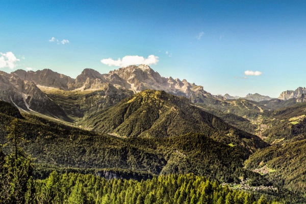
This route will let you see an interesting section of the Italian “yellow line” defence that connected the military installations in Cadore with those in the Agordo area. From Chiesa you can get to the Grava dairy cottage by car; then you continue on foot along the military cart track marked route 584, which first goes up to Col della Bissa (1,897 m), then to Spiz Zuel (2,033 m) with the tunnels and positions on the long ridge. The view of the Dolomites is truly spectacular, especially of Mounts Pelmo and Civetta.
THE SPIZ ZUEL DEFENCES
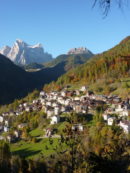
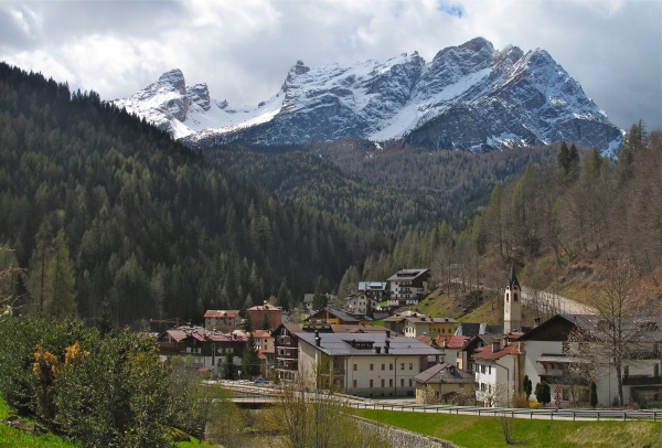
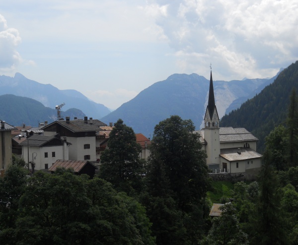
Spiz Zuel (or Col de l’Agnelessa) is a singular and isolated hill that rises to the right of the Maè, to the north west of Forno di Zoldo. Today it is still home to docile herds of cows and horses. With its height of 2,033 metres it offers a panoramic view extending to Civetta and Pelmo to the north and towards Cima Nord di San Sebastiano and Spiz di Mezzodì to the south. The road leading to the Casera della Grava at the peak has preserved the typical original characteristics of a military road, built in 1916 under the supervision of Lieutenant Alberto Alpago Novello with a width of 2 metres and an average gradient of 10%. The entire road is perfectly paved with cobblestones and even the large fountain at the altitude of 1,930 metres is still in place. As it has a basin, cattle use the fountain regularly as a trough. The summit of the mountain consists of a ridge about 500 metres long, almost at right angles to the valley below, and is covered by Swiss mountain pines and larches. Two humps break the uniformity of the top (altitudes of 2,035 m and 2,038 m) and constitute the Spiz de l’Agnelessa proper, whereas Spiz Zuel is shown to have a height of 1,984 on some maps and is slightly further eastwards towards Fusine. A communication mule track goes along the ridge on the southern slope, which is the reverse of the fortified position, constituting the natural completion of the military road. It was to serve the positions in the tunnel but appears only to have been roughly outlined, with many scarp and counterscarp walls that were just started or not even built.
Two beautiful crucifixes at height of 1,984 m, not very far from each other, the western one looking more ancient and bearing a dramatically suffering Christ, are a perfect termination of the terrace before the path, near the remains of a blockhouse, embarks on the descent to Col Campioi (1,804 m) and the chalets of Canazze di Sopra and di Sotto below. Lieutenant Alpago Novello designed and built a complex system of tunnels (ATTENTION: not to visit) on the ridge with an overall length of 340 metres, whose two entrances are easily reached from the mule track that has already been mentioned, one at an altitude of 1,981 metres and the other at 1,977 metres. The foundations of the construction designed to house the generator used for the drills are still recognizable. The first tunnel (to the west) went straight into the rock and headed northeast for about 60 metres, bending left and separating into two different branches that led to emplacements for medium-calibre cannons at 1,983 metres and 1,979 metres above sea level. The second tunnel, which curves more, headed 35 metres towards the west and then bent east to two other caverns at 1,976 and 1,970 metres. About halfway along, the two tunnels were connected by a 30-metre excavation.
The first cavern emplacement was designed for a medium-calibre cannon trained on the Coldai and Alleghe passes, while the second and third pointed towards the road from the Staulanza pass to Pecol di Val di Zoldo. The fourth commanded movements from Cadore through Pian di Ritorno and the Chiandolada pass. While only the first few metres of the first tunnel could be accessible owing to the collapse of the roof, about 25 metres of the second could be explored before you come up against a blockage caused by fallen rocks (ATTENTION: not to visit). At an altitude of about 1,980 metres, on a natural ledge overlooking Col de la Bissa and dominating the entire Zoldo valley, there remain traces (dried walls) of a blockhouse/observation post. Not very far away, at an altitude of 1,985 metres, rises a pinnacle of rock on which another, smaller blockhouse was built from large assembled tree-trunks, the rear served by a covered walkway, several metres of which can still be explored.
Various paths with dry scarp and counterscarp walls served emplacements for medium-calibre guns and defence trenches on the summit ridge between 1,990 and 1,984 metres above sea level. Also still visible today are two clearings where there were huts for soldiers, workers and materials. The first is about 100 metres before the fountain above the road, the second is about 50 metres west of the fountain, overlooked by the smaller blockhouse.
[texts: GREAT WAR SITES IN THE PROVINCE OF BELLUNO Preservation and promotion of the areas in the Memorial Park Project co-financed by the European Union through European Found for Regional Developmen Community Initiative Interreg IIIA Italia-Austria 2000-2006 - Project (Cod. VEN 222001) - thanks to Unione montana Agordina]