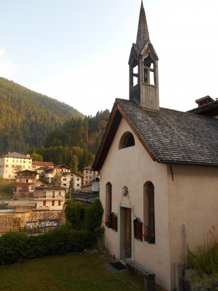
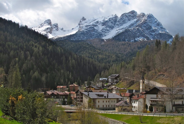
Walk past the church facing a small square, then continue to the eastern edge of the village and beyond on a forest track to the red house in Pratoràn (985 m).
After a short climb, cross a marked stream bed through a trail with a wooden railing; you will soon reach the hamlet of Astragàl (969 m) along an easy dirt road on the opposite side.
Travel a short uphill stretch to the quaint hamlet of Col (1003 m), then continue to the north to CAI trail 492 and take it. A characteristic row of large beech trees completes this stretch of trail until it intersects a logging road that crosses two surface-water depressions further on.
Once you arrive in the hamlet of Casal (1022 m), near the fountain, a small road branches off to the left, allowing you to stay upstream from the village as far as an old wash house.
Continue climbing, first slightly uphill, then downstream along a former service road, up to the hamlet of Bragarezza (929 m).
Just downstream of the stone fountain that characterises the town square, follow a cobbled alley sloping down. The terrain, now loose but secured by a wooden railing, allows you to quickly reach provincial road 347 below, shortly downstream from the hamlet of Villanova (946 m).
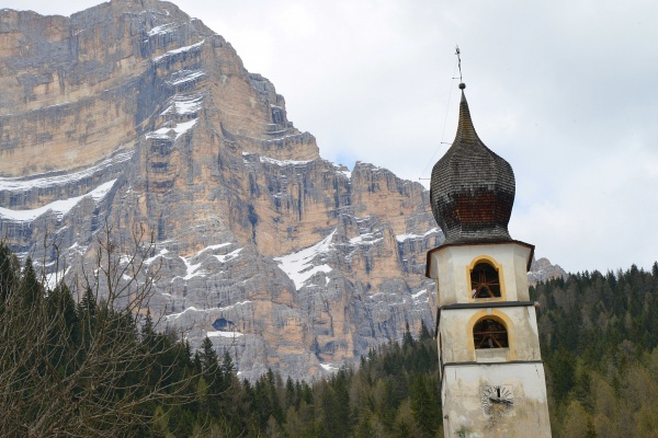
Here, turn right and soon after leaving provincial road 347, head towards the hamlets of Prà (955 m) and Dozza (963 m). A final short climb leads to the monumental church of Pieve (930 m), where the view opens onto the Bosconero mountain group.
By a votive niche, at the edge of the square facing the church, go down a steep cobbled path to the hamlet of Sorogno, then to Campo (925 m) and finally to Forno di Zoldo (840 m), next to the Palazzo del Capitanato, home to the Museum of Iron and Nail.