The via ferrata degli Alleghesi is an itinerary in wonderful surroundings for experienced excursionists/mountaineers allowing you to reach the summit of the Civetta at an altitude of 3218 m. The itinerary develops along the eastern side till it reaches the north-east ridge which is climbed all the way to the summit. All together it is a very difficult itinerary physically with a remarkable total length and vertical height gain. Technically speaking the itinerary is not extreme but it requires experience to exposure and control in moving on this type of terrain. Some sections, even if easy, are not equipped and need to be climbed. Once the summit has been reached, you are only half way there, remember there is still the long and difficult way down.
Itinerary
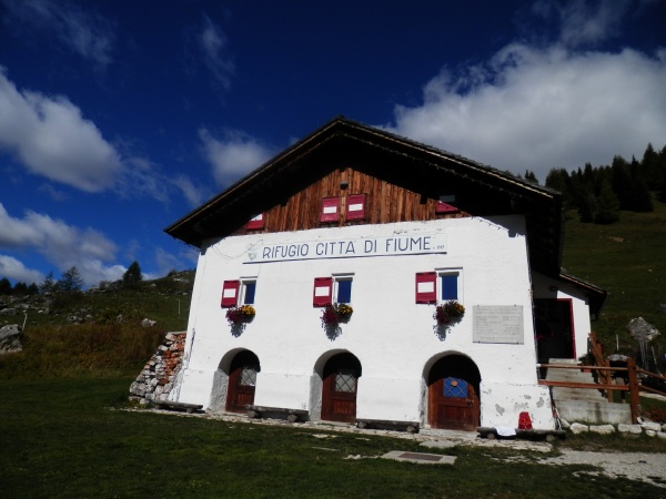
From Rifugio Coldai (2132 m) climb up towards the Coldai saddle and detour to the left along Tivan path no.557. Follow the path with up and down sections till you reach the saddle of Schinal del Bech at an altitude of roughly 2300m from where you leave the path climbing up to the right (boulder with red sign Alleghesi). Once you go by the scree and a few equipped rocky sections you reach the base of the ferrata (1,30 roughly from the hut).
Overcome immediately a steep section equipped with steps to then enter a sequence of gullies and short steep steps which lead roughly half way up the spur of Punta Civetta. From here first of all along a ridge and then again along chimneys and gullies exit onto the northern ridge at an altitude of roughly 2800m. The itinerary now develops discontinuously along an areal and northern ridge with equipped sections and easier sections where you can walk along a path which is always marked. So you reach Punta Tissi first of all and then Civetta’s summit.
Descent
From the summit, head south-east following the red marks and along steep scree slopes to reach the rifugio Torroni situated at 2984m. From the hut descend along the steep and equipped path no.558 leaving on the right the path which leads to the Tissi ferrata along leaning slabs, ledges and steep rock steps equipped with metal cables. Reach the final scree slope and from here a junction allows you to descend directly to Pecol. To the left instead you reach the Tivan path and to the north follow it again, as for the approach path, with tiring up and down sections, as far as the rifugio Coldai.
General access
Access to the Alleghesi’s ferrata is possible from both sides of the Civetta:
- from Palafavera use the chairlift up to Col di Dof. From here, downhill to Casera di Pioda then proceed along path no. 556 all the way to Rifugio Coldai 2135m.
- from Alleghe following path no.564; or by cable car and chairlift to Col dei Baldi and then to rifugio Coldai 2135m along paths 561 and 556.
From the hut follow path n.560 for a dozen metres towards Forcella Coldai, then turn left along “Tivan” (557).
Difficulty
Itinerary among the most difficult of the Dolomites in physical terms due to the remarkable length and vertical height gain. It requires excellent physical form. Technically it is not extreme and offers some unequipped climbing sections. The return is difficult and long with a number of equipped sections.
Gear: Normal ferrata gear. At the beginning of summer an ice axe and crampons may come in useful.
Maps: Cartina Tabacco 025
Before to start please verify the conditions of the itinerary contacting the Alpine guides of Val di Zoldo.
Guide Alpine Val di Zoldo
Via M. Punta 2/b
32012 Val di Zoldo (BL)
Tel: +39 328 2372767
www.guidealpinevaldizoldo.it
[email protected]