This visit gives you the opportunity of seeing one of the fortified works of the Zoldo valley that, together with Col Baion, situated more towards the south on the other bank of the Maè, connected Spiz Zuel to the defences of Becco di Cuzze and Crepe di Serla in the Boite valley. From Casal (1,050 m) you carry on towards the west along the road that meets route 492, which rises from Col and continues with the same number on the eastern side of Val Visia, until you get to Col de Salera (1,629 m). From here you can proceed along an easy path (route 499) to Mount Punta (1,952 m), from where you can go down to La Forzèla (1,723 m) and also to Costa and Brusadaz. From Col de Salèra you can also descend to Costa directly via Mas di Sabe (1,464 m). Rendezvous: Casal (1,026 m) or Col di Astragal (1,069 m).
COL DE SALERA AND MOUNT PUNTA
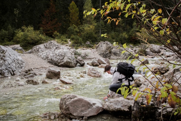
The route leading up to the peak of Mount Punta along the ridge of Lariét and Col de Salera starts in the centre of Forno di Val di Zoldo near the old Palazzo del Capitaniato, which is today the Ciòdo museum. Following the old road that used to connect the hamlets of Calchera and Cella, you reach the outskirts of the village of Casal. The path, which is broad and follows the bank of the El Gaf stream, has much supporting stonework, and beeches lining the way interspersed with lush vegetation. Outside the hamlet of Casal the path reaches a white road that passes through Val de Visia to climb towards Col Lariet (1,304 m), and if you look at the road surface you will see areas of paving stones that were the military road-bed. Before reaching the top of the hill, the road becomes a footpath (Italian Alpine Club route 492) that enters the wood, occupying a narrow strip of the old military road. Half-hidden in the undergrowth are skilfully built dry-stone walls. Amid the tree roots you will be able to make out the pattern of the blocks that marked the road verge. Tight bends at a constant gradient take you up along the ridge of Col de Salera (1,629 m) amid firs and larches.
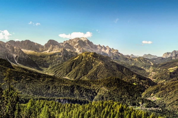
Thicker vegetation occasionally thins into level clearings on the sides of the path, which were once used as observation posts. And in fact on the left a few metres after one such clearing is the entrance to the Col de Salera tunnel (attention please: not to visit inside), which was dug into the stone hillside during the Great War. After the tunnel entrance the ascent towards becomes steeper and more exposed while the vegetation begins to thin out (route 499). Now you will soon get to the peak of Mount Punta, where there are still furrows from various trenches and an observation post that affords stunning views from a central position among the peaks of the Val di Zoldo peaks. Mount Punta (1,629 m), located between Dont and Zoppé, was important at the time because from here Col di Lana and Monte Pore could be seen through the Staulanza pass and indeed it was the object of Italian strategic interest, albeit belatedly, when there were concerns about the lack of continuity in the Italian “yellow line” between the fortifications in Cadore and the Agordo area.
After the first inspections in 1915, all the photographs of the site were gathered, together with panoramic views, so that a decision could be taken as to what works to construct. Accordingly, in July 1916 a plan (on which Lieutenant Alberto Alpago Novello worked) was prepared to set up an artillery position in a cavern on the top of the mountain. There is one entrance to the tunnel, which, after about 30 m, branches into two sections each about 70 m long leading to the two emplacements. Given their dimensions, these caverns probably housed 149 mm cannons trained north-west and west-north-west, namely directed against movements from Staulanza.. The Col de Salera tunnels were about 170 m long, 3-3.5 m wide and 3 m high. The emplacements were intended to be 4.5 m by 4.5 and 3.5 m high, and the altitude was 1,592 m.
There are various options for the return journey to the valley floor: retracing your steps; carrying on along the crest of Punta to La Forzèla (1,723 m), and then heading north-east to reach Zoppè di Cadore or west to the hamlet of Costa; following a loop that takes you back to Col de Salera: this route, partly along an unsurfaced track, partly along route 492, passes through the hamlet of Mas di Sabe, with its typical Zoldo valley barn; from Col de Salera you go back down the way you came by route 492.
[texts: GREAT WAR SITES IN THE PROVINCE OF BELLUNO Preservation and promotion of the areas in the Memorial Park Project co-financed by the European Union through European Found for Regional Developmen Community Initiative Interreg IIIA Italia-Austria 2000-2006 - Project (Cod. VEN 222001) - thanks to Unione montana Agordina]